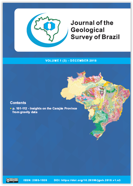
Insights on the framework of the Carajás Province, Amazonian Craton, Brazil, and on the three-dimensional shape of the Carajás Basin, based on gravity data
Main Article Content
Abstract
This work interprets and models aerogravity data surveyed in the Carajás Province (also Carajás Domain) - Eastern Amazonian Craton, with the purpose of understanding the deep tectonic framework of this region and sketching the three-dimensional shape of the Carajás Basin. Initially, a comparison was made between the gravity signatures of the Carajás Domain in relation to those of the Rio Maria, Bacajá and Iriri-Xingu domains. This comparison demonstrates that the gravity anomaly configuration of the Rio Maria Domain is similar to the tectonic pattern observed in ancient Archean terranes (dome-and-keel geometry) elsewhere, while the gravity anomaly arrangement of the Carajás Domain forms positive gravity belts suggesting the deposition of volcano-sedimentary rocks in elongated basins. The gravity pattern observed at the boundary between the Carajás and Bacajá domains has similarities with the shape observed in continental collision belts from several continents. The Iriri-Xingu Domain, unlike the other three domains, presents an expressive negative gravity signature. In the Carajás Basin, I observed a strong correlation between positive gravity anomalies and their maximum horizontal gradient with metavolcano-sedimentary sequences. Modeling of the positive anomalies was performed using the forward method, which calculates the 2.5D geometry of bodies associated with the anomalies. The results demonstrate that N-S intrabasinal highs divide the basin into three distinct compartments: East, Central, and West. Internally, these compartments are structured in down-dropped and up-dropped blocks with depths ranging from 500 to 3,700 m. These results were compared to the three-dimensional geological models proposed for the Carajás Basin. This comparison suggests that the early phases of the evolution of this basin are characterized by the formation of a rift structured in grabens (down-dropped blocks) and horsts (up-dropped blocks), whose bounding faults, some of them reactivated as shear zones, facilitated and amplified the development of folds in the late phases of tectonic inversion of the basin.
Article Details
The papers are published in the open access format, being freely available to any user, under a CC-BY Creative Commons license.
By submitting this manuscript for evaluation, the authors are aware of the CC-BY Creative Commons license. In the case of manuscript approval, the author responsible for the manuscript (corresponding author), hereinafter referred to as CEDENTE (ASSIGNOR), hereby assigns and transfers to CPRM-Serviço Geológico do Brasil, holder of the JGSB, free of charge, on his behalf and on behalf from all co-authors, the right of the first publication. This includes the rights of editing, publication, translation into another language and reproduction by any process, worldwide, today and in the future.
After the first publication by the JGSB, authors hold the copyright without restrictions and are allowed to disclose and distribute their work through personal website pages and institutional repositories.
At the same time, the ASSIGNOR declares that the content of the manuscript is of sole responsibility of the authors and that this content does not infringe the copyrights and/or other property rights of third parties, that is, that any contents of the manuscript and its attachments, if taken from other publications, are duly referenced and, when necessary, the permissions for publications of such contents were requested by the authors from the copyright holders; that the disclosure of images (if any) has been authorized and that it assumes full moral and/or patrimonial responsibility, due to its content, before third parties.


