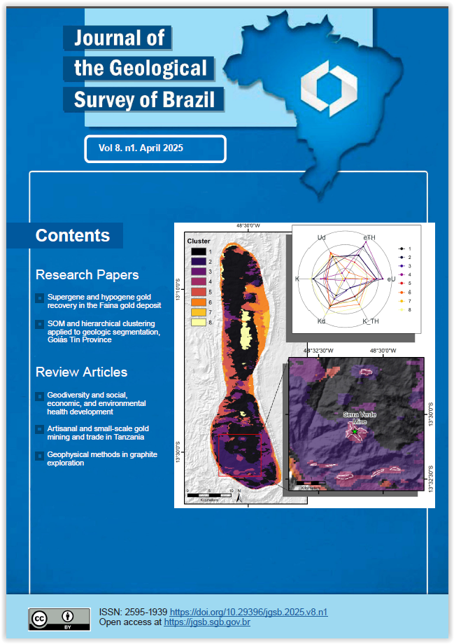
Unveiling geological complexity in the Serra Dourada Granite using self-organizing maps and hierarchical clustering: Insights for REE prospecting in the Goiás Tin Province, Brasília Belt, Central Brazil
Main Article Content
Abstract
This study explores the use of Self-Organizing Maps (SOM) combined with hierarchical clustering to provide insights into the geological differentiation and mineral prospecting in the Serra Dourada Granite (SDG), part of the Goiás Tin Province, northern Brasília Belt. After some issues on the geological cartography of the SDG based on traditional approaches, such as the interpretation of outcrops and the limited geochemistry data, often struggle to capture the complexity of high-dimensional geophysical datasets. To address this, we apply unsupervised machine learning techniques to segment airborne radiometric data, providing a more nuanced understanding of the SDG internal structure. Using airborne gamma-ray data, we employed SOM for dimensionality reduction and data segmentation, supported by hierarchical clustering. This methodology enabled us to identify distinct geological units with greater accuracy and resolution than traditional methods such as Principal Component Analysis (PCA). The SOM-based approach retained the data's original topology and revealed fine-scale patterns within the dataset, distinguishing between areas affected by magmatic processes and those influenced by post-magmatic hydrothermalism and supergene leaching. The results indicate that some clusters are mainly associated with magmatic differentiation, characterized by average concentrations of potassium (K), equivalent thorium (eTh), and equivalent uranium (eU) and others show evidence of secondary processes, including hydrothermal alteration and weathering. Notably, Cluster 4 is spatially linked to REE-enriched plateaus and the Serra Verde Mine, reinforcing its significance for mineral exploration. The SOM model proved more effective than PCA at capturing non-linear relationships within the data. While PCA provided insights into the primary variance, it did not fully account for the complex geological processes at play. In contrast, the SOM model segmented the data into clusters that reflected both broad radiometric trends and localized variations, particularly in areas influenced by hydrothermalism and supergene processes. Our findings underscore the value of machine learning techniques, particularly SOM, in geoscientific data analysis. This approach provides a robust framework for integrating multivariate radiometric data, offering valuable insights for geological mapping and mineral exploration, especially in regions with complex geological histories. The methodology presented here can be adapted to other geological settings, enhancing the accuracy of subsurface mapping and identifying areas of economic interest, such as Rare Earth Element (REE) and other critical mineral deposits.
Article Details

This work is licensed under a Creative Commons Attribution 4.0 International License.
The papers are published in the open access format, being freely available to any user, under a CC-BY Creative Commons license.
By submitting this manuscript for evaluation, the authors are aware of the CC-BY Creative Commons license. In the case of manuscript approval, the author responsible for the manuscript (corresponding author), hereinafter referred to as CEDENTE (ASSIGNOR), hereby assigns and transfers to CPRM-Serviço Geológico do Brasil, holder of the JGSB, free of charge, on his behalf and on behalf from all co-authors, the right of the first publication. This includes the rights of editing, publication, translation into another language and reproduction by any process, worldwide, today and in the future.
After the first publication by the JGSB, authors hold the copyright without restrictions and are allowed to disclose and distribute their work through personal website pages and institutional repositories.
At the same time, the ASSIGNOR declares that the content of the manuscript is of sole responsibility of the authors and that this content does not infringe the copyrights and/or other property rights of third parties, that is, that any contents of the manuscript and its attachments, if taken from other publications, are duly referenced and, when necessary, the permissions for publications of such contents were requested by the authors from the copyright holders; that the disclosure of images (if any) has been authorized and that it assumes full moral and/or patrimonial responsibility, due to its content, before third parties.


