Short Communication on "Updated geological map of the Borborema Province, northeastern Brazil"
Article Sidebar
Main Article Content
Abstract
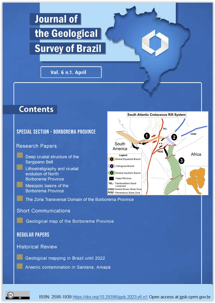
The Borborema Province (BP), Northeast Brazil, represents one of the main structural provinces of Brazil, and underwent numerous studies, including projects conducted by the Geological Survey of Brazil - SGB/CPRM, especially focusing on systematic geological mapping. As a result, a large part of the BP is covered by geological mapping at the scale 1:100,000 and, however, did not have an appropriate integrated map that represents the current level of knowledge of this geological object. The project Geology and Mineral Potential of the Borborema Province was conducted by the SGB with the objective of making available products to leverage the geological knowledge of the BP. In 2021 it was made available the regional geological integration map, besides the respective vector data, which represents the state-of-the-art of the geological knowledge in the province, also containing information about mineral resources and geochronological data. This short communication presents information about the making of the Geological Map of Borborema Province, at the scale of 1:500,000 (Appendix 1).
Article Details

This work is licensed under a Creative Commons Attribution 4.0 International License.
The papers are published in the open access format, being freely available to any user, under a CC-BY Creative Commons license.
By submitting this manuscript for evaluation, the authors are aware of the CC-BY Creative Commons license. In the case of manuscript approval, the author responsible for the manuscript (corresponding author), hereinafter referred to as CEDENTE (ASSIGNOR), hereby assigns and transfers to CPRM-Serviço Geológico do Brasil, holder of the JGSB, free of charge, on his behalf and on behalf from all co-authors, the right of the first publication. This includes the rights of editing, publication, translation into another language and reproduction by any process, worldwide, today and in the future.
After the first publication by the JGSB, authors hold the copyright without restrictions and are allowed to disclose and distribute their work through personal website pages and institutional repositories.
At the same time, the ASSIGNOR declares that the content of the manuscript is of sole responsibility of the authors and that this content does not infringe the copyrights and/or other property rights of third parties, that is, that any contents of the manuscript and its attachments, if taken from other publications, are duly referenced and, when necessary, the permissions for publications of such contents were requested by the authors from the copyright holders; that the disclosure of images (if any) has been authorized and that it assumes full moral and/or patrimonial responsibility, due to its content, before third parties.