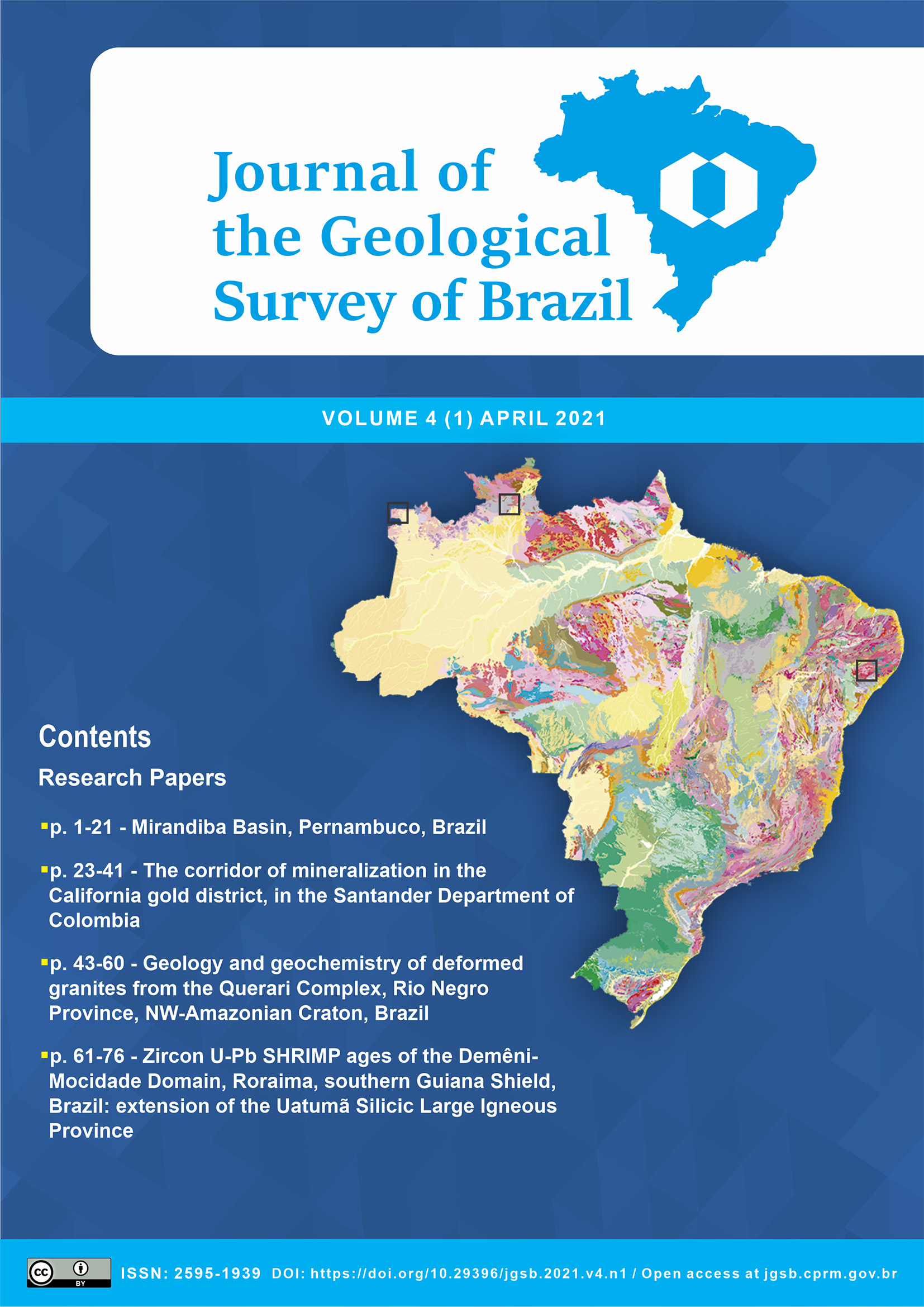
The geometry, sedimentary filling and depth estimate of the Mirandiba Basin, Pernambuco, Brazil: new insights about the depositional regional gap of rift phases in the interior basins
Main Article Content
Abstract
The Mirandiba Basin has a well-defined stratigraphic sequence and its sedimentation may be directly correlated with the Jatobá Basin and some other interior basins. The sedimentation began in intracratonic conditions with a Paleozoic sequence (Tacaratu/Inajá Formations), which acted as a substrate without any genetic relationship with the basin. The fluvial Tacaratu Formation emerges beyond the limits of this basin, where a remnant core named here as Poço do Icó was found wrapped around the basement to the west of the basin. Subsequently, there was a deposition in a shallow marine environment of the Inajá Formation (Devonian) formed by the intercalation of clay/siltstones and sandstones with ichnofossils. Pre-rift sedimentation occurs over the Paleozoic sequence, characterized in the basin by the lacustrine sediments of the Aliança Formation, represented by the intercalation of shales and calcarenites with desiccation cracks and fossil fragments. In spite of depositional gap described between the local Aratu and Alagoas Stages, the presence of Salvador Formation close to the north border fault may represent a rare rift phase record in the interior basins. The post-rift sequence is represented by the Marizal Formation, deposited during the Aptian. This formation is distinguished by the intercalation of fine sandstone, siltstone and conglomerate deposited in an alluvial fan environment. The pre-rift, rift and post-rift sedimentation are embedded in the depocenter of the basin, where the main NE-SW
graben stands out. A gravity survey was carried out, which obtained a negative, asymmetric Bouguer anomaly, with gradients added to the northwest, suggesting the existence of a half-graben. The result of the gravity 3D model indicates the existence of a main depocenter in the NE-SW direction with depths of up to 400 meters. These geophysical results support the tubular well location drilled 410 m in depth that was used in this work to better characterize the basin. The joint interpretation of gravity, aeromagnetic and structural data suggest that the half-graben framework of the basin developed by the evolution of a pull-apart extension system. The structural system that gave rise to the Mirandiba Basin has the maximum compression tensioner oriented to NE-SW and the distention to NW-SE. It has a depth of around 400 meters and the depressions formed by tectonic events were filled by Post-Tacaratu sedimentation.
Article Details

This work is licensed under a Creative Commons Attribution 4.0 International License.
The papers are published in the open access format, being freely available to any user, under a CC-BY Creative Commons license.
By submitting this manuscript for evaluation, the authors are aware of the CC-BY Creative Commons license. In the case of manuscript approval, the author responsible for the manuscript (corresponding author), hereinafter referred to as CEDENTE (ASSIGNOR), hereby assigns and transfers to CPRM-Serviço Geológico do Brasil, holder of the JGSB, free of charge, on his behalf and on behalf from all co-authors, the right of the first publication. This includes the rights of editing, publication, translation into another language and reproduction by any process, worldwide, today and in the future.
After the first publication by the JGSB, authors hold the copyright without restrictions and are allowed to disclose and distribute their work through personal website pages and institutional repositories.
At the same time, the ASSIGNOR declares that the content of the manuscript is of sole responsibility of the authors and that this content does not infringe the copyrights and/or other property rights of third parties, that is, that any contents of the manuscript and its attachments, if taken from other publications, are duly referenced and, when necessary, the permissions for publications of such contents were requested by the authors from the copyright holders; that the disclosure of images (if any) has been authorized and that it assumes full moral and/or patrimonial responsibility, due to its content, before third parties.


